Friday, March 10, 2006
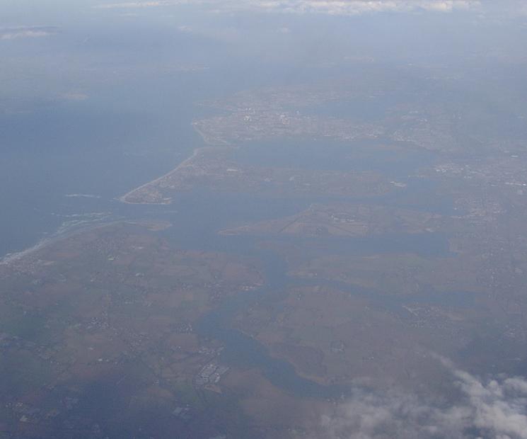
We are cruising at an altitude of 20,000 feet and out of the starboard window you will see...
It wasn't until I downloaded the photo to my PC and had a good look that I realised what piece of coastline we were flying over. It's Hayling and Portsea Islands (Portsmouth to you) as seen from above Selsey Bill. If you use the tilt function in Google Earth, you can match up the photo with the satellite shots to get a rough height of 20,000 feet. I love Google Earth - I'm so glad they don't charge for the basic product.
![]()
Subscribe to Posts [Atom]